Recently when I was doomscrolling on Reddit I came across a post showing off an animated map of all the lighthouses in New England.
Click to see still-image from the video (could not upload video)
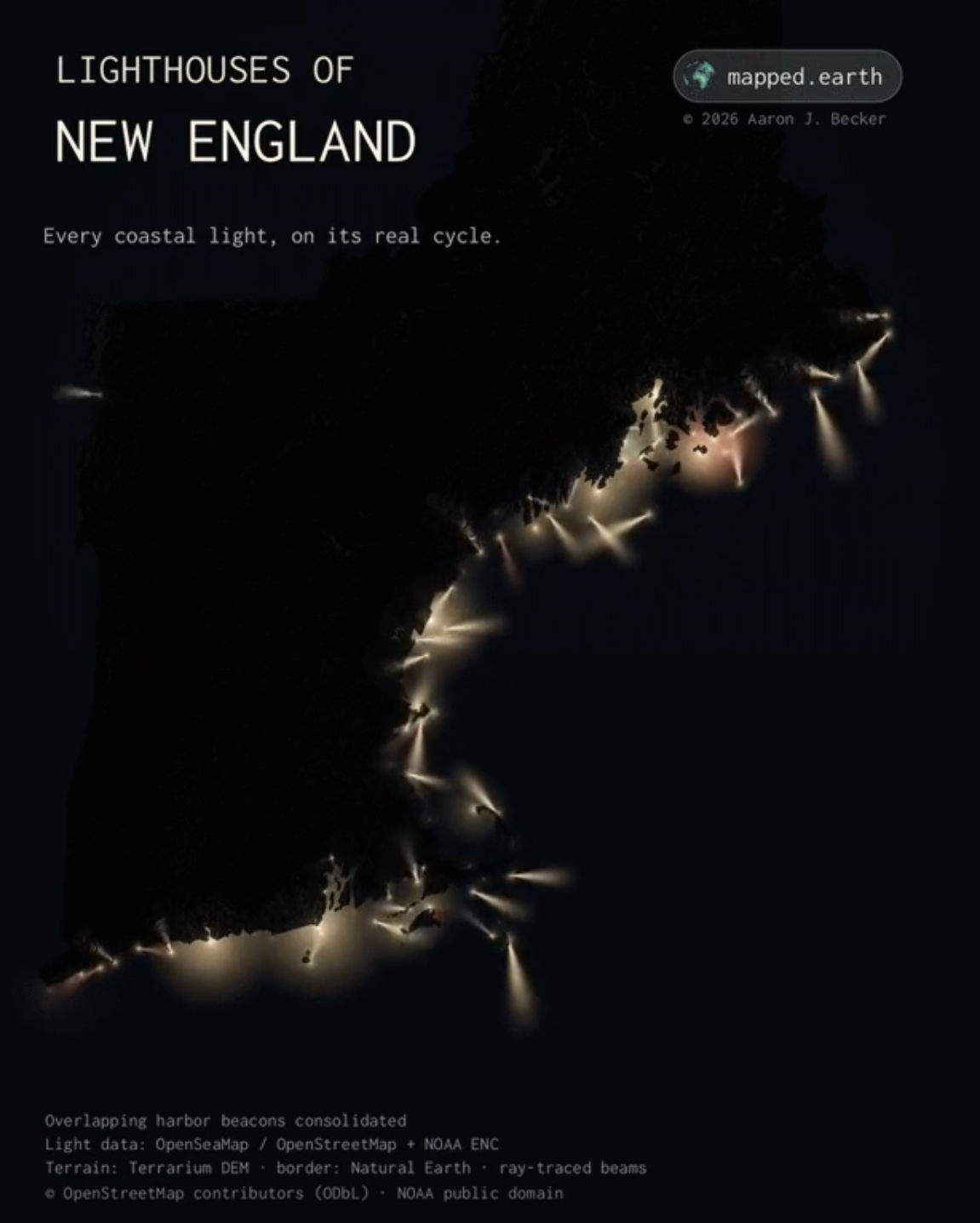
I figured it would be interesting to expand this idea out to the entire United States and make it interactive so users can zoom into specific regions/light-houses and get descriptions with facts about each one (to the extent that there’s information online about them.
The interactive map can be found at https://jmoul.io/lighthouse-map or embedded below.
Interesting Facts/Data
Here’s some fun and interesting data I was able to gather while researching and implementing this.
States with highest density of lighthouses (RI wins)
| State | Mapped sites | Sites per 1,000 square miles of land |
|---|---|---|
| Rhode Island | 26 | 25.15 |
| Delaware | 16 | 8.21 |
| Massachusetts | 60 | 7.69 |
| Connecticut | 21 | 4.34 |
| Maryland | 32 | 3.30 |
- The oldest surviving tower is in New Jersey: Sandy Hook Lighthouse first shone on June 11, 1764, and remains a working lighthouse. Its construction was financed through a lottery. Source: National Park Service
- America’s first lighthouse: Boston Light was established in 1716. British forces destroyed the original during the Revolution in 1776, so the tower standing today dates to 1783. It holds the distinction of oldest lighthouse station. Source: National Park Service
- “Newest lighthouse”: NPS describes Charleston Light, dedicated in 1962, as America’s last major lighthouse. its triangular tower even has a service elevator. But working newcomers followed: Washington’s Clover Island Lighthouse was built in May 2010 and is a Coast Guard-approved private navigation aid. I couldn’t establish a defensible nationwide “newest” across new stations, replacement towers, and replicas. Source: NPS, Port of Kennewick
- A lighthouse can be too high: California’s original Point Bonita light frequently disappeared into coastal fog. In 1877, workers moved its lens and lantern room to a lower station, 124 feet above sea level, where the light could shine beneath much of the fog. Source: National Park Service
- The Statue of Liberty used to be a lighthouse: Its electrically illuminated torch served as a navigation light from 1886 to 1902. The Lighthouse Board maintained it, although officials ultimately judged its light ineffective for navigation. Source: U.S. Coast Guard
- Engineers moved a 4,830 ton lighthouse more than half a mile: In 1999, Cape Hatteras Lighthouse which is the tallest brick lighthouse in the US was moved 2,900 feet to escape shoreline erosion. Hydraulic equipment advanced it five feet at a time, while 60 sensors monitored the structure. Source: National Park Service
- Even Nebraska has a lighthouse: Lake Minatare’s 55-foot stone tower was built between 1937 and 1939 by the Veterans Conservation Corps. Its intended purposes were shelter and observation. This can actually be seen on the map by zooming into western Nebraska. Source: Nebraska Game & Parks
- One lighthouse keeper was officially credited with saving 18 lives: Ida Lewis tended Rhode Island’s Lime Rock Light for more than five decades. She received the Gold Lifesaving Medal in 1881 after helping rescue two soldiers who had fallen through the ice. The lighthouse was later renamed in her honor. Source: U.S. Coast Guard